The HCAS Motus Tower
A tower in Ashe County, listening to the sky.
Online since August 9, 2024
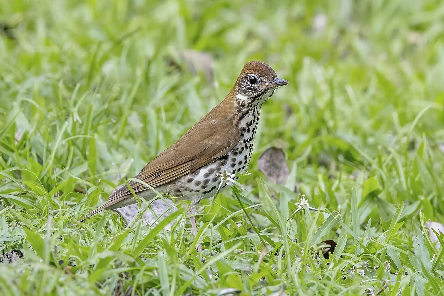
Birds our tower has heard
That's 12 tagged animals of 8 species in our first two years, including a Monarch butterfly that flew about 1,140 km to reach us. We only detect animals that carry tags and happen to pass close to our tower, so every detection adds to the map of how they actually migrate — and the more towers there are, the more willing researchers are to tag birds in the first place.
Tap a name to see that animal's journey on Motus.
How a 0.2-gram tag tells a story
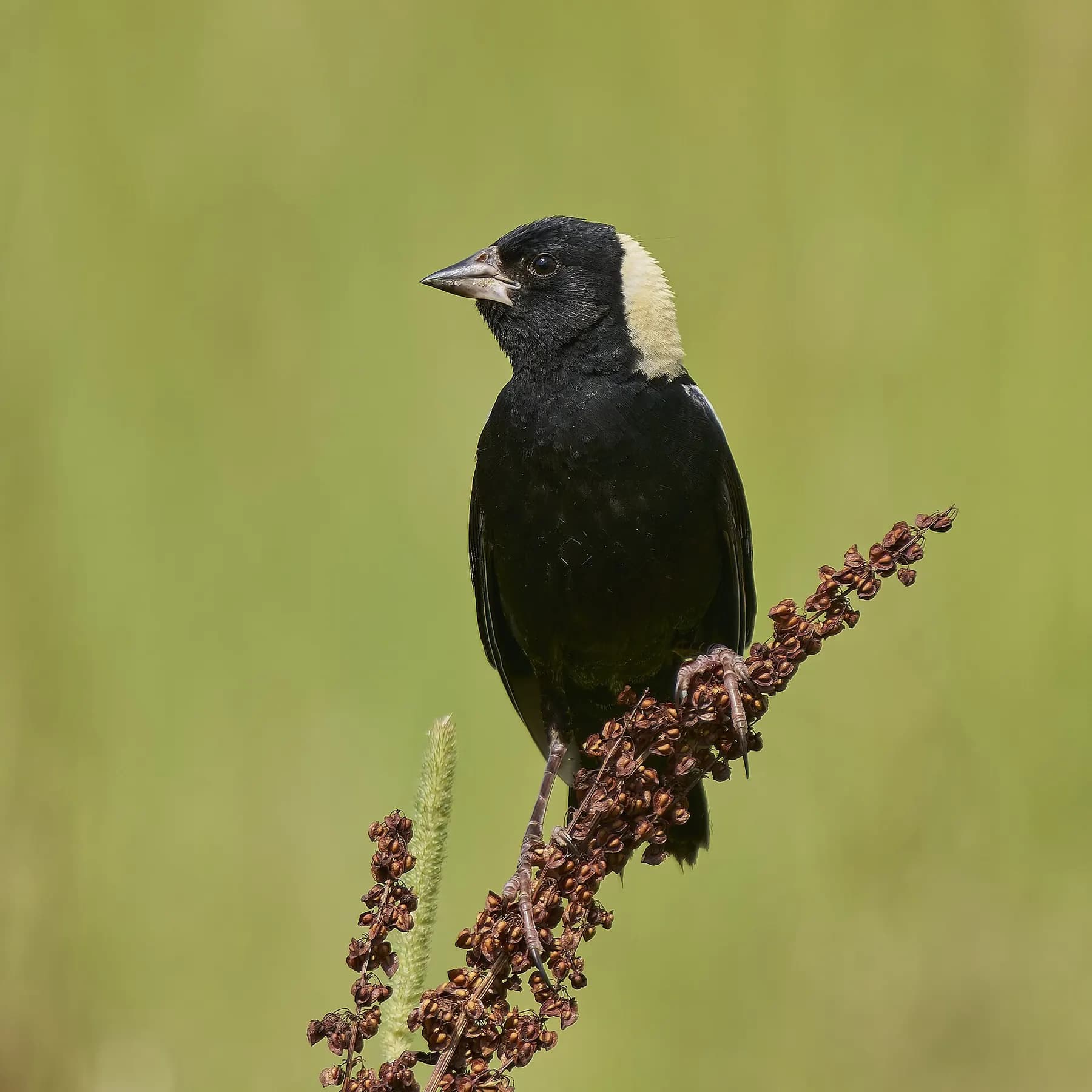
Researchers fit birds with nano-tags — a tiny transmitter and a 12–15 cm whisker of antenna weighing between 0.2 and 1 gram. Each tag pulses a unique signal. When a tagged bird flies within range of a Motus receiver like ours, the detection is logged and shared with researchers across the network.
Many thanks to Dr. Richard Gray, Astronomy Professor Emeritus and long-time HCAS member, who made the tower happen and built its fourth antenna by hand in October 2024 — and to Motus Wildlife Tracking System and Birds Canada.
- Project
- High Country Audubon Migratory Bird Detection
- Location
- 36.3184, -81.4998
- Online since
- August 9, 2024
- Receiver
- CTT-V3023D364972
- Listens on
- 166.38 MHz and 434 MHz
- Antennas
- 6, pointing north (7°), southeast (155°) and southwest (207°)
Data acknowledgement
The detection data on this page come from the Motus Wildlife Tracking System. Motus is a program of Birds Canada, a non-profit organization dedicated to bird conservation, in close collaboration with a diverse network of organizations, businesses and individuals.
Our station belongs to the High Country Audubon Migratory Bird Detection project. Every animal listed here was tagged by another research project in the Motus network, and we thank those researchers and collaborators for sharing their data. Follow an animal's link to see the project that tagged it.
Citation: Motus Wildlife Tracking System. 2023. Birds Canada, Port Rowan, Ontario. Available: https://motus.org. Accessed: October 2026.